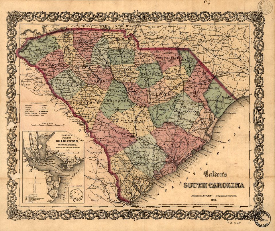
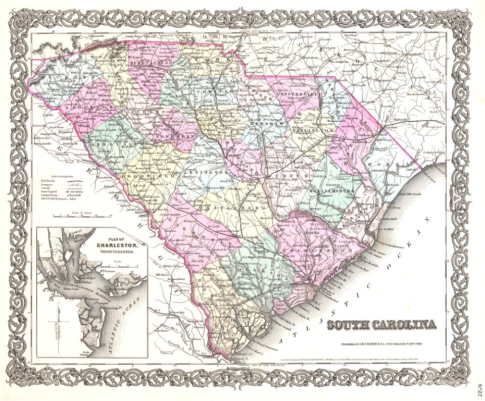
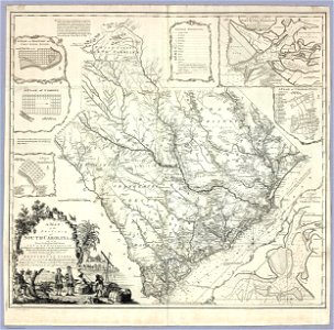
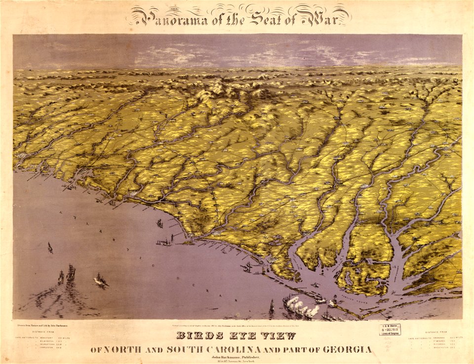
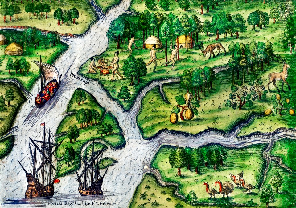
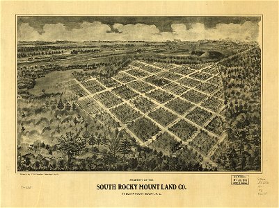
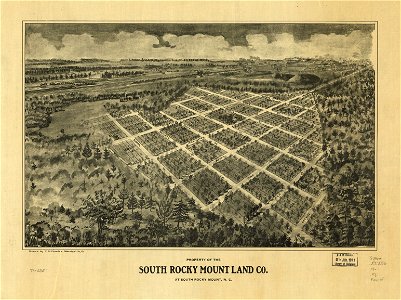
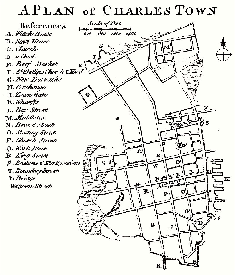
18 Свободни изкуства за Old Maps Of South Carolina

Colton's South Carolina. LOC 99447241
1855 Colton Map of South Carolina - Geographicus - SouthCarolina-colton-1855
Cook, James — Map of the Province of South Carolina 1773
Panorama of the seat of war; birds eye view of North and South Carolina and part of Georgia. LOC gm71000588
North Carolina coast line. Showing every inlet, sound & bay of special interest, from Fortress Monroe to South Carolina. LOC 99447454
Property of the South Rocky Mount Land Co. at South Rocky Mount, N.C. LOC gm71005351
North Carolina coast line. Showing every inlet, sound & bay of special interest, from Fortress Monroe to South Carolina. LOC 99447454
J. H. Colton's topographical map of North and South Carolina. A large portion of Georgia & part of adjoining states. Entered according to Act of Congress in the year 1861 by J.H. Colton. LOC 99447015
Rigobert-Bonne-Atlas-de-toutes-les-parties-connues-du-globe-terrestre MG 0028
Beaufort Harbor and coast line between Charleston, S.C. and Savanna (sic) Ga., with 5 mile distance lines in circles round Beaufort, and R.R. connections, roads, etc. etc. LOC 99448811
Julius Rubens Ames, Moral Map of U.S. 1847 Cornell CUL PJM 2051 01
1 - 18 z celkového počtu 18
/ 1